Western US Routes

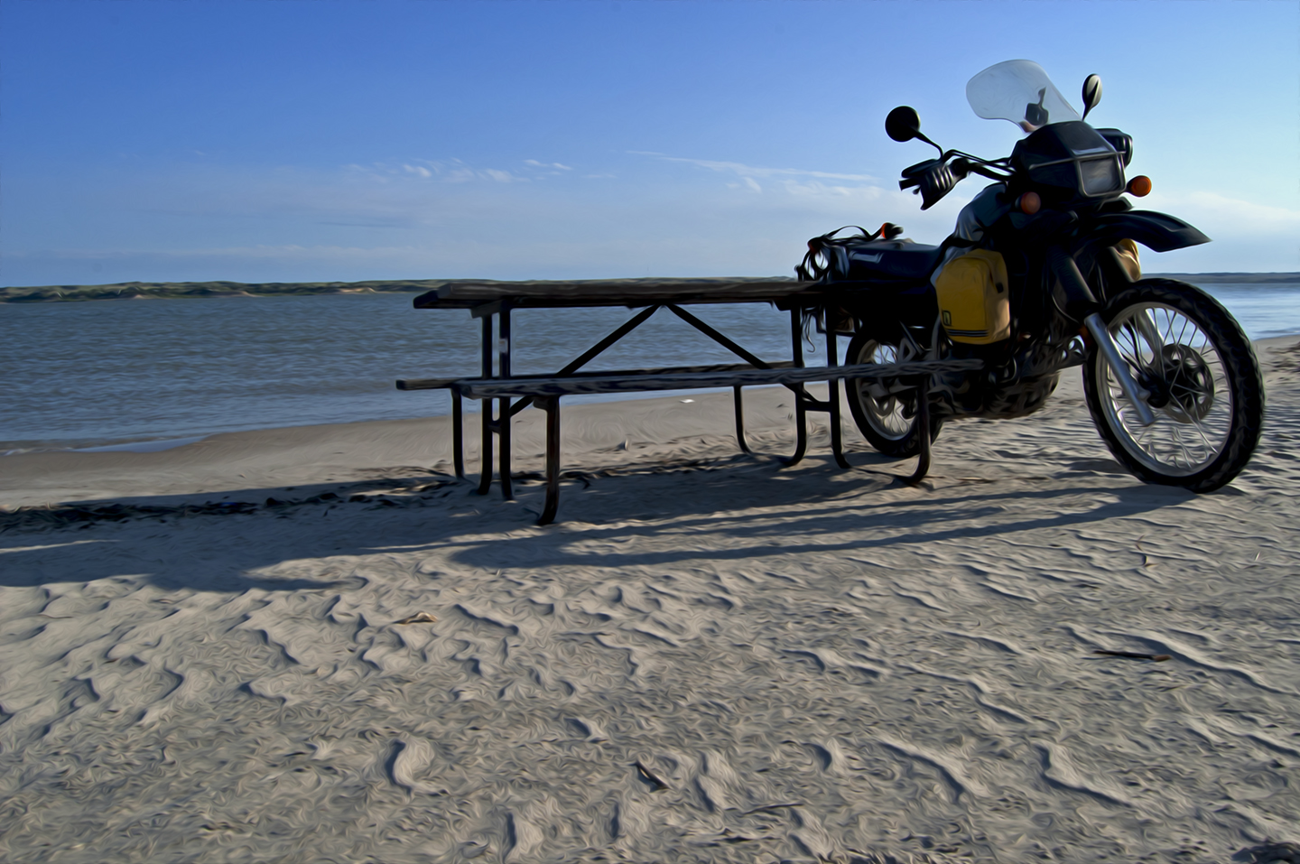
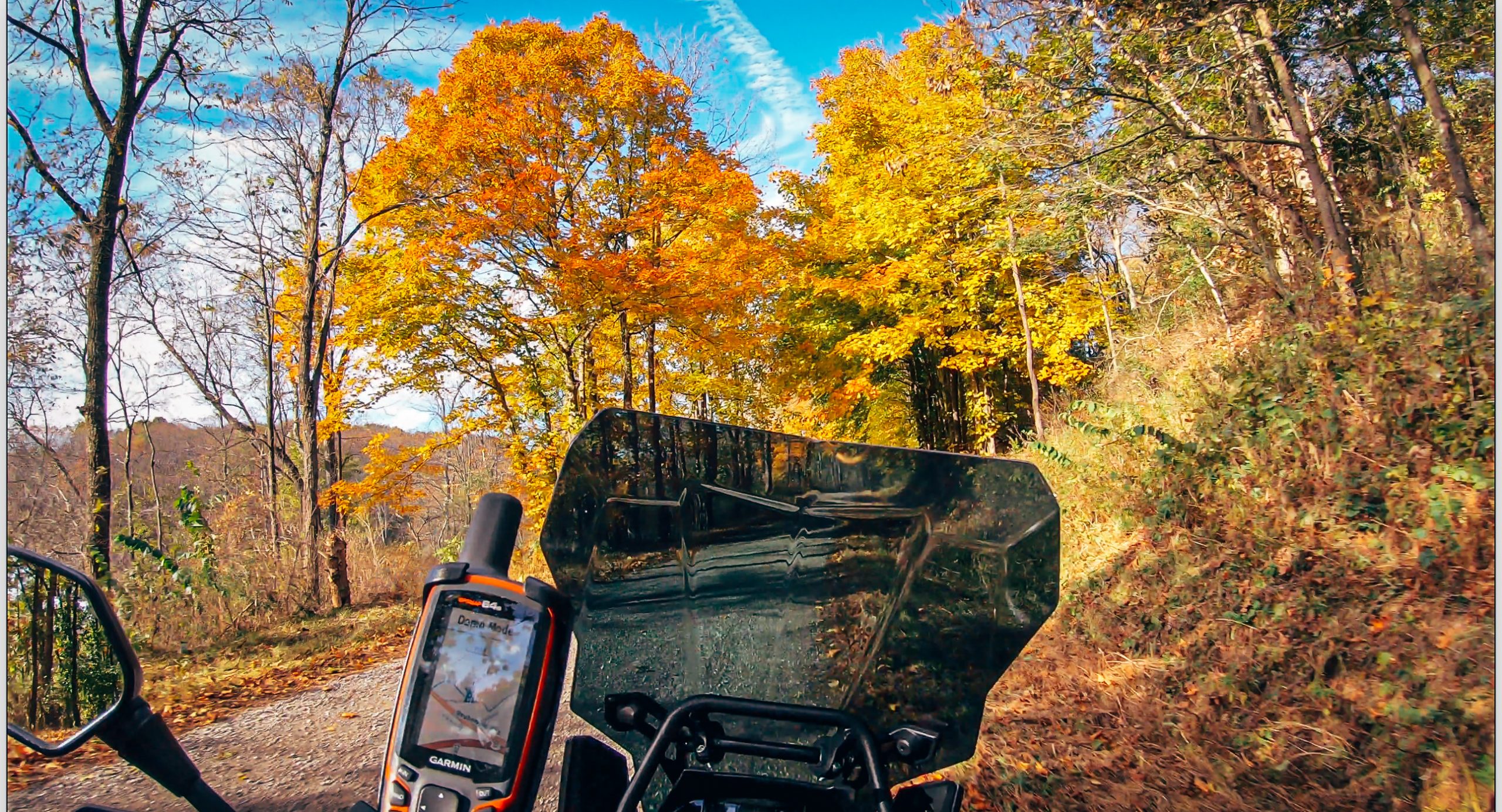
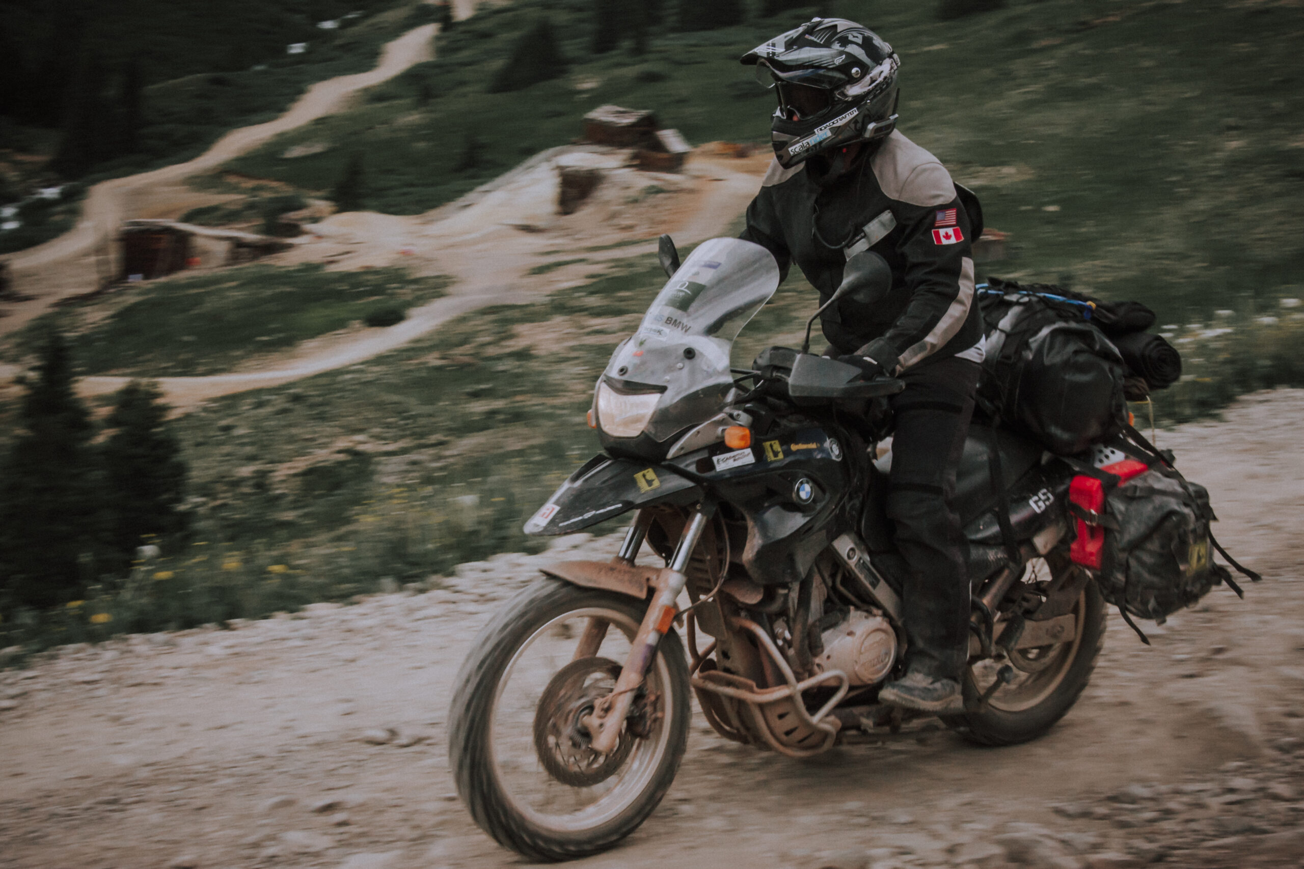
Here you can find route files and document of places I’ve explored in the Western United States. I will be updating this as much as I can. Feel free to download any files you would like. These files represent routes I took and (to the best of my knowledge) are public roads, requiring plated vehicles. Understand that road closures and other events could make parts of these routes unusable. Also, please respect the rules set by these areas so that we are all welcome to return as much as possible. Thank you!

YOUR DATA:  I do not sell or share your data with anyone.  I use it simply to manage my downloads and files.

NOTE: I RARELY RIDE LOOPS, SO MOST OF THESE ROUTES GO EAST TO WEST OR VICE VERSA. IF YOU ARE LOOKING FOR LOOPS, THESE ROUTES CAN GIVE YOU A START TO MAKE YOUR OWN
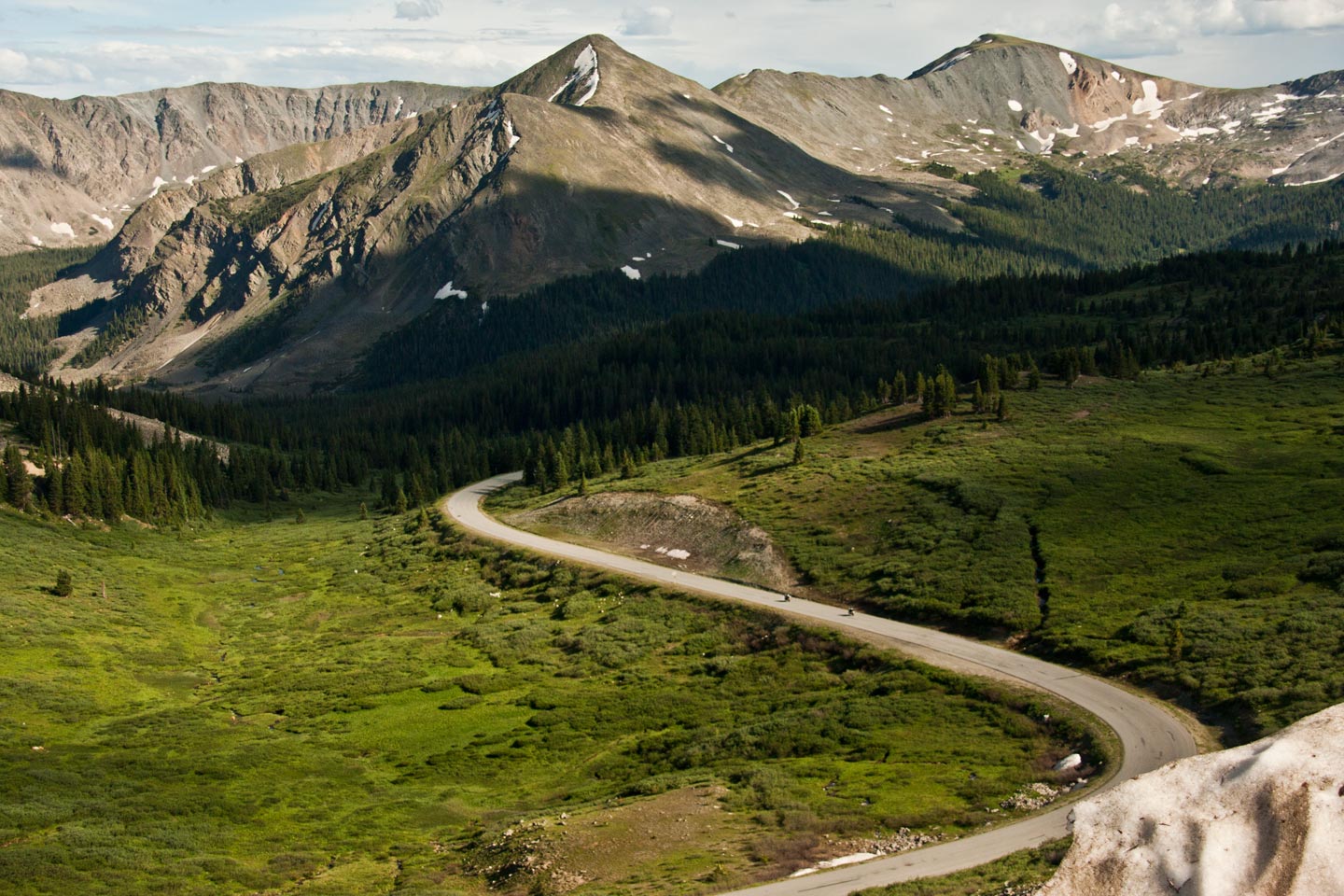

Colorado

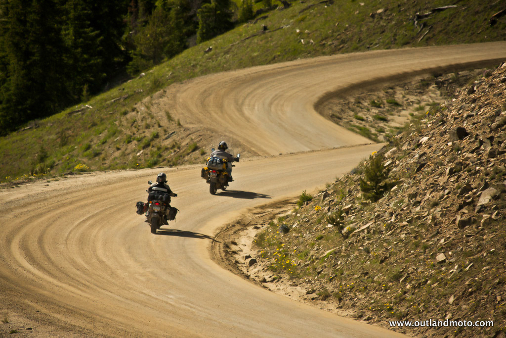
Boreas Pass to Cripple Creek via Rampart Range

POINT TO POINT - DIRT, GRAVEL, PAVED ROADS - The route leaves Vail, CO and covers Boreas Pass and Rampart Range, ending in Cripple Creek, CO.  It is approximately 218 miles.
FREE DOWNLOAD

Send download link to:

Cripple Creek to Sedalia (via Shelf Road, Phantom Canyon, & Rampart Range)

POINT TO POINT - DIRT, GRAVEL - The route leaves Cripple Creek, CO, uses the Shelf Road and Phantom Canyon to loop back to Gold Camp Road.  It then takes you north through Rampart Range, ending inn Sedalia, outside of Castle Rock, CO.  183 miles.
FREE DOWNLOAD

Send download link to:


Oregon

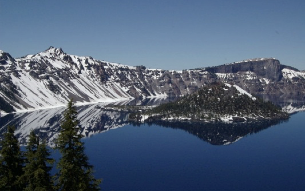
Crystal Crane Hot Springs to Crater Lake

POINT TO POINT - DIRT, SAND, PAVED ROADS - This gpx file contains Garmin (.gdb) routes, along with important waypoints. The route starts in Crane, moving west to Crater Lake. Mostly dirt roads with some possible sandy areas that could be challenging. Total distance for route is 450 miles.
FREE DOWNLOAD

Send download link to:


Utah

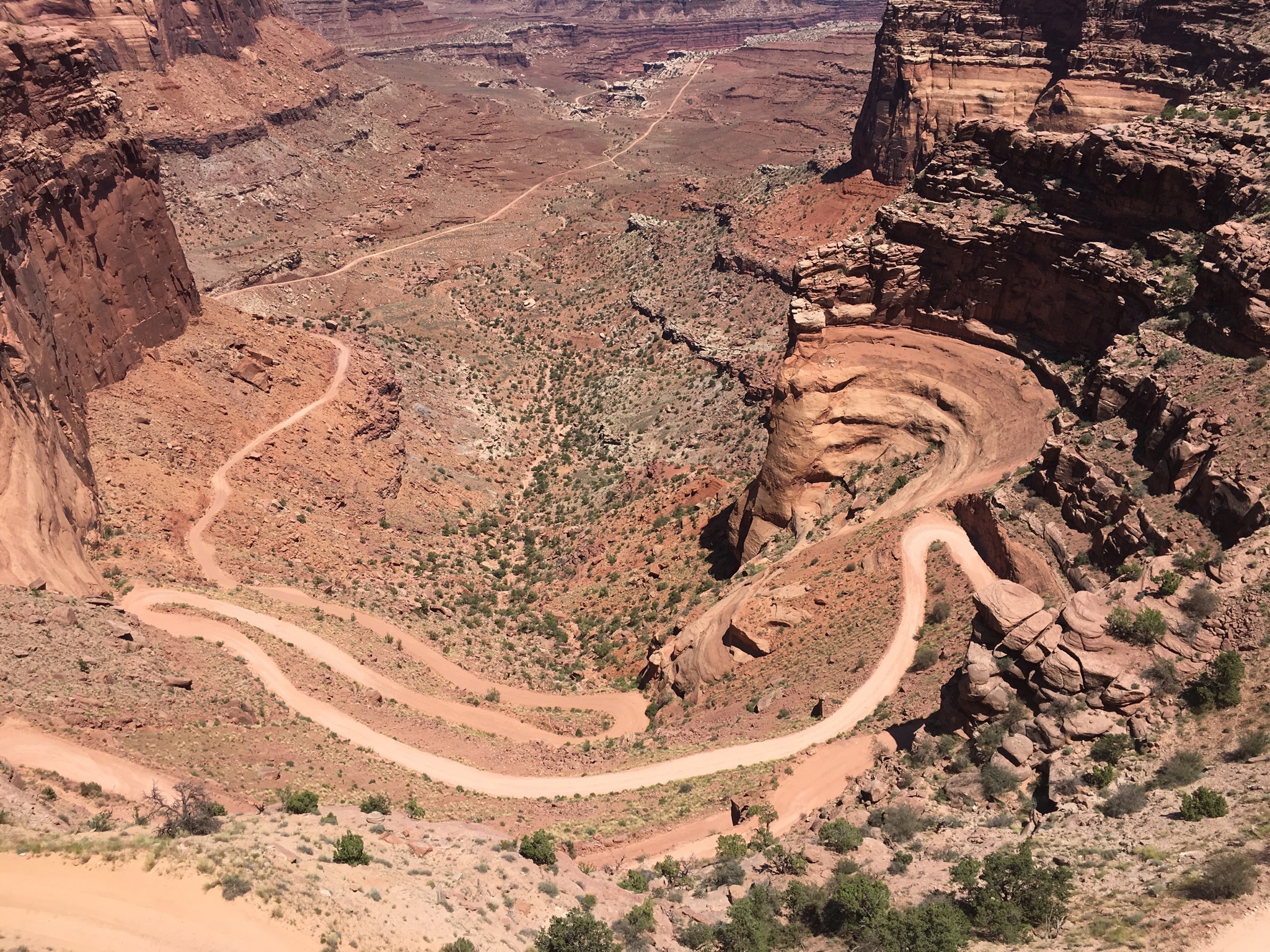
White Rim Trail Loop - Canyonlands NP

LOOP - DIRT – This gpx file contains two Garmin (.gdb) routes for the White Rim Trail, located in the Canyonlands, outside of Moab, UT. This route is best for lightly loaded adventure bikes and dual sports. This route IS NOT for street bikes. The file give you a choice to ride the trail clockwise or counter-clockwise. The most difficult part of the route is on the western end, so taking the route counter-clockwise will take care of that part earlier in the day. The route is approximately 160 miles, but lave yourself 10 to 12 hours to finish it. You will want to stop and sightsee. It will take all day!
FREE DOWNLOAD

Send download link to:

La Sal Mountain Loop and Onion Creek Road

LOOP - DIRT – This gpx file contains one Garmin (.gdb) route. This route starts just south of Moab, UT. It uses part of the La Sal mountain loop, then turns onto Onion Creek Road, going north. It ends at UT128, just northeast of Moab. Total mileage for this route is 90 miles.
FREE DOWNLOAD

Send download link to:

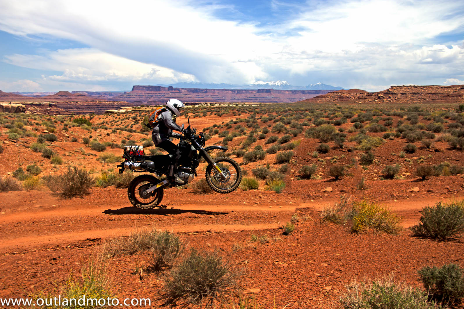
Butler Wash to Hanksville, UT

POINT TO POINT - DIRT – This gpx file contains two Garmin (.gdb) routes, along with important waypoints. This is a dirt and sand route, which start south of Moab, UT, moving west to Hanksville, UT. Street bikes should NOT take this route. Lightly packed adventure bikes and dual sports are the most appropriate. The route can be completed in one day and I have waypoints for fuel, lodging and camping in Hanksville. Make sure and fill your tank in Moab to make it to Hanksville. There are no other fuel stops on the route. Total mileage for the routes is 216 miles.  This is a somewhat rugged route with lots of surprises.  Take lots of water and food and it will be much more enjoyable.
FREE DOWNLOAD

Send download link to: