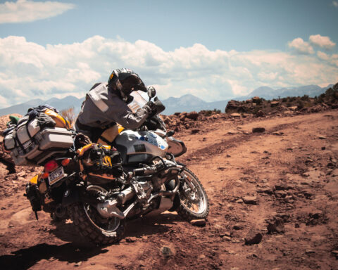
Here you can find route files and document of places I’ve explored in the Central United States. I will be updating this as much as I can. Feel free to download any files you would like. These files represent routes I took and (to the best of my knowledge) are public roads, requiring plated vehicles. Understand that road closures and other events could make parts of these routes unusable. Also, please respect the rules set by these areas so that we are all welcome to return as much as possible. Thank you!
YOUR DATA: I do not sell or share your data with anyone. I use it simply to manage my downloads and files.
NOTE: I RARELY RIDE LOOPS, SO MOST OF THESE ROUTES GO EAST TO WEST OR VICE VERSA. IF YOU ARE LOOKING FOR LOOPS, THESE ROUTES CAN GIVE YOU A START TO MAKE YOUR OWN
Arkansas
Quachita National Forest
Send download link to:
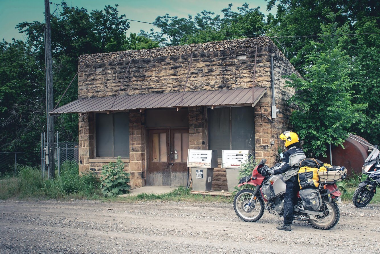
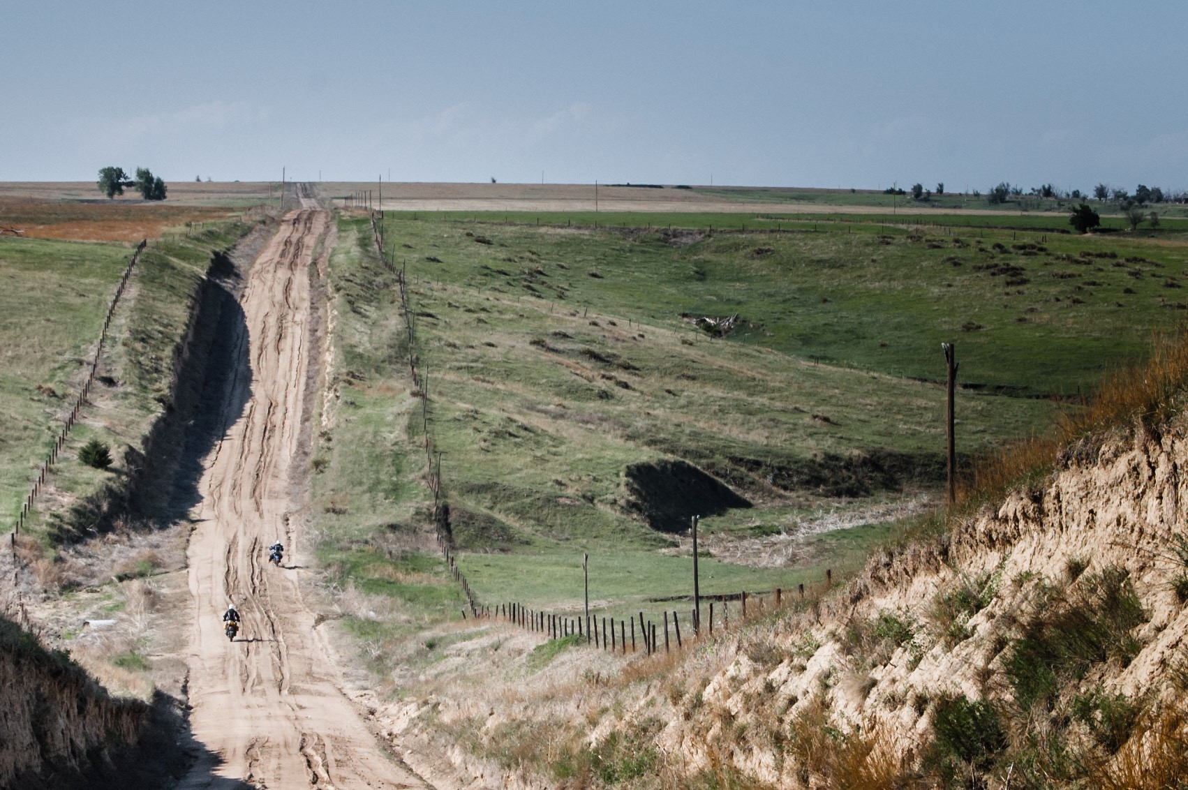
Kansas
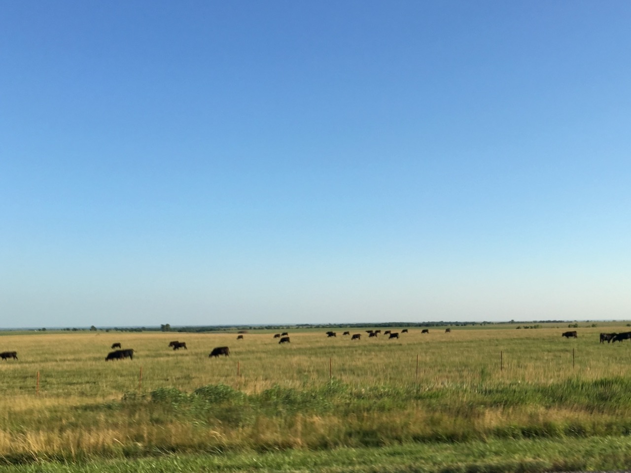
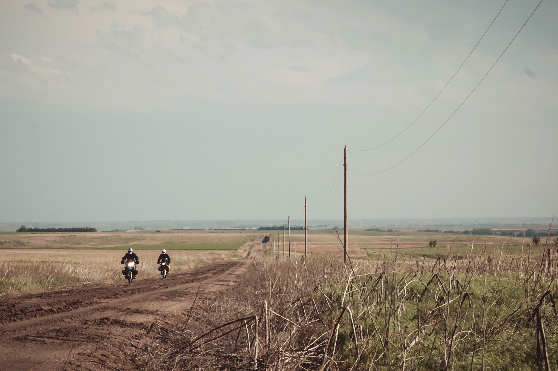
Trans-Kansas Route
Send download link to:
Nebraska
Niobrara to Thedford
Send download link to:
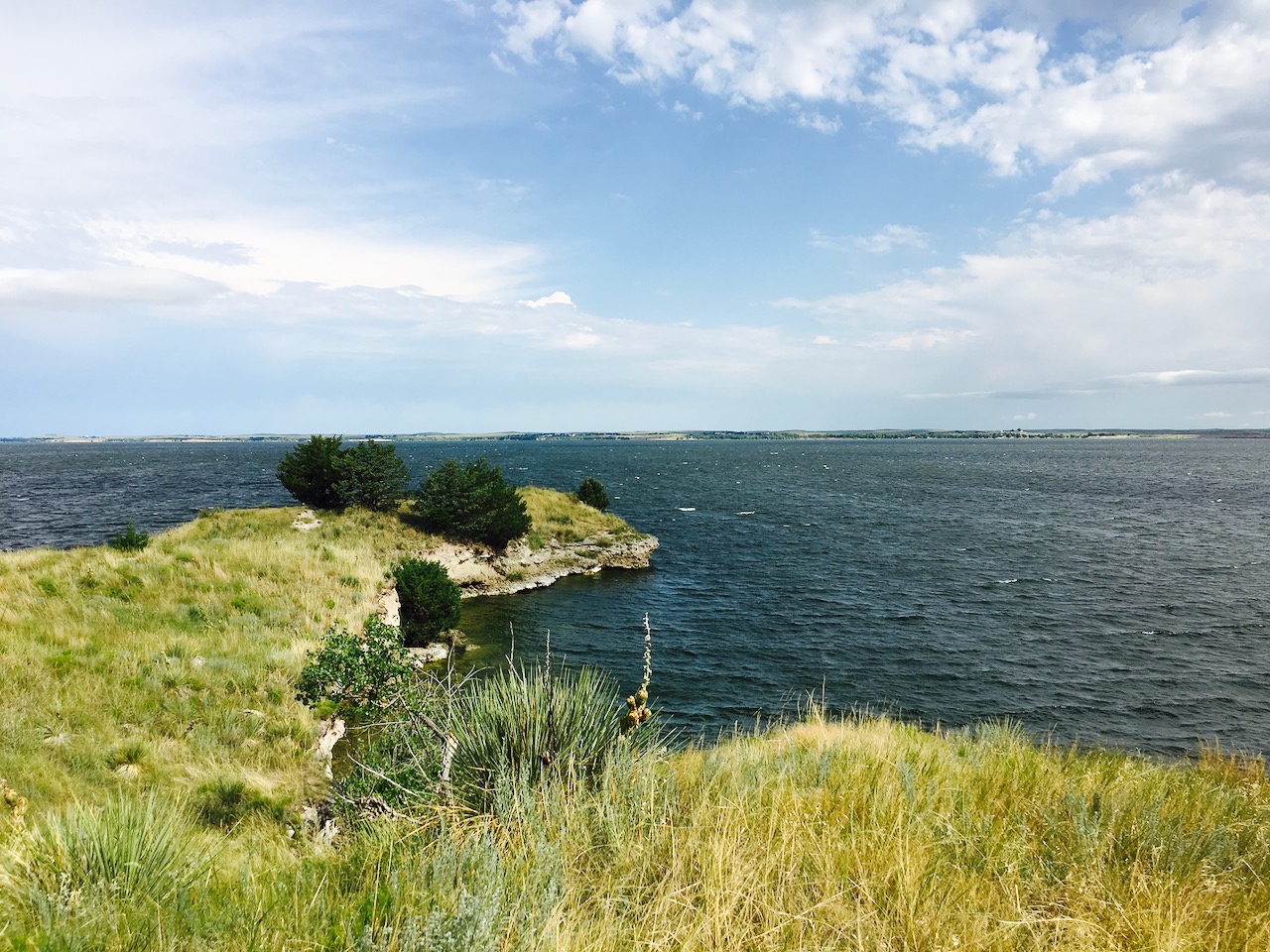
Lake McConaughy, NE to Badland National Park, SD
Send download link to:
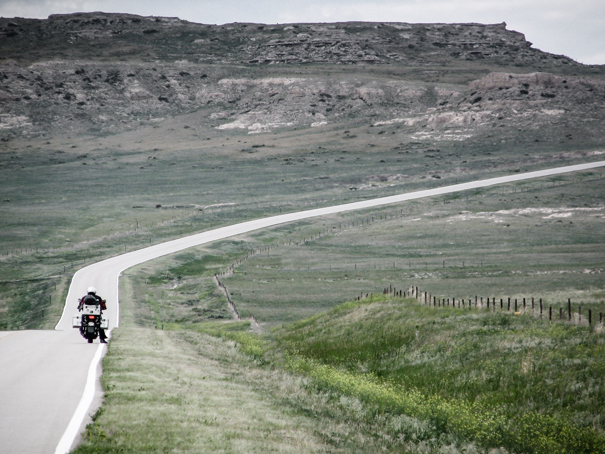
Ogallala, NE to Badlands National Park, SD
Send download link to:
South Dakota
South Dakota Route #1
Send download link to: