Riding the Monongahela National Forest, West Virginia
Words by Jim Vota
Photography by Kristen Vota
There are many reasons for the state of West Virginia. Historically, some say it was formed out of political disagreements between the eastern and western regions of Virginia. Others say it was the American Civil War and West Virginia’s desire to ally with the Union. Each reason, however, is fundamentally rooted in the one very unique geographical characteristic found in this wild and wonderful state: the mountains.
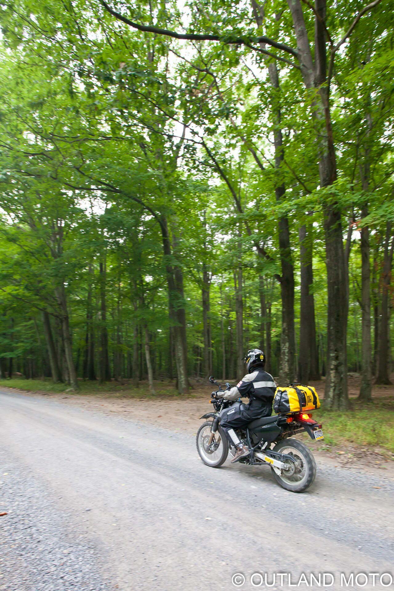
Defining the eastern edge of West Virginia, the Allegheny Mountains all but cut off western Virginians from their eastern neighbors when our nation was being formed. The mountains’ rugged terrain, sharp, rocky glacial cuts, and erratic weather made travel prohibitive. This physical barrier cultivated two distinct cultures within one state, which ultimately led to the creation of what we presently know as West Virginia. During the Civil War, General Robert E. Lee used the mountains to hide entire divisions of his soldiers from the Union. Today, a part of this rugged area, known as Monongahela National Forest, draws motorcyclists of all types for different reasons. Its gravel roads and thick foliage allow for days of uninterrupted exploration, with views that can make your heart jump into your throat.
But first, one practical point about traveling here: The weather. Monongahela National Forest—and the entire Allegheny range—is known for its unpredictable weather, which can change not only quickly, but violently. Daytime temperatures can soar into the 90s, then quickly drop into the 40s, even during the height of summer. With the drop in temperature, one can expect rain, fog, sleet, high winds, and even snow in some areas. The gear you choose can make all the difference in your experience; waterproof—or at the least, water-resistant—clothing and luggage will allow you to soak up the scenery instead of the water that often comes with it.
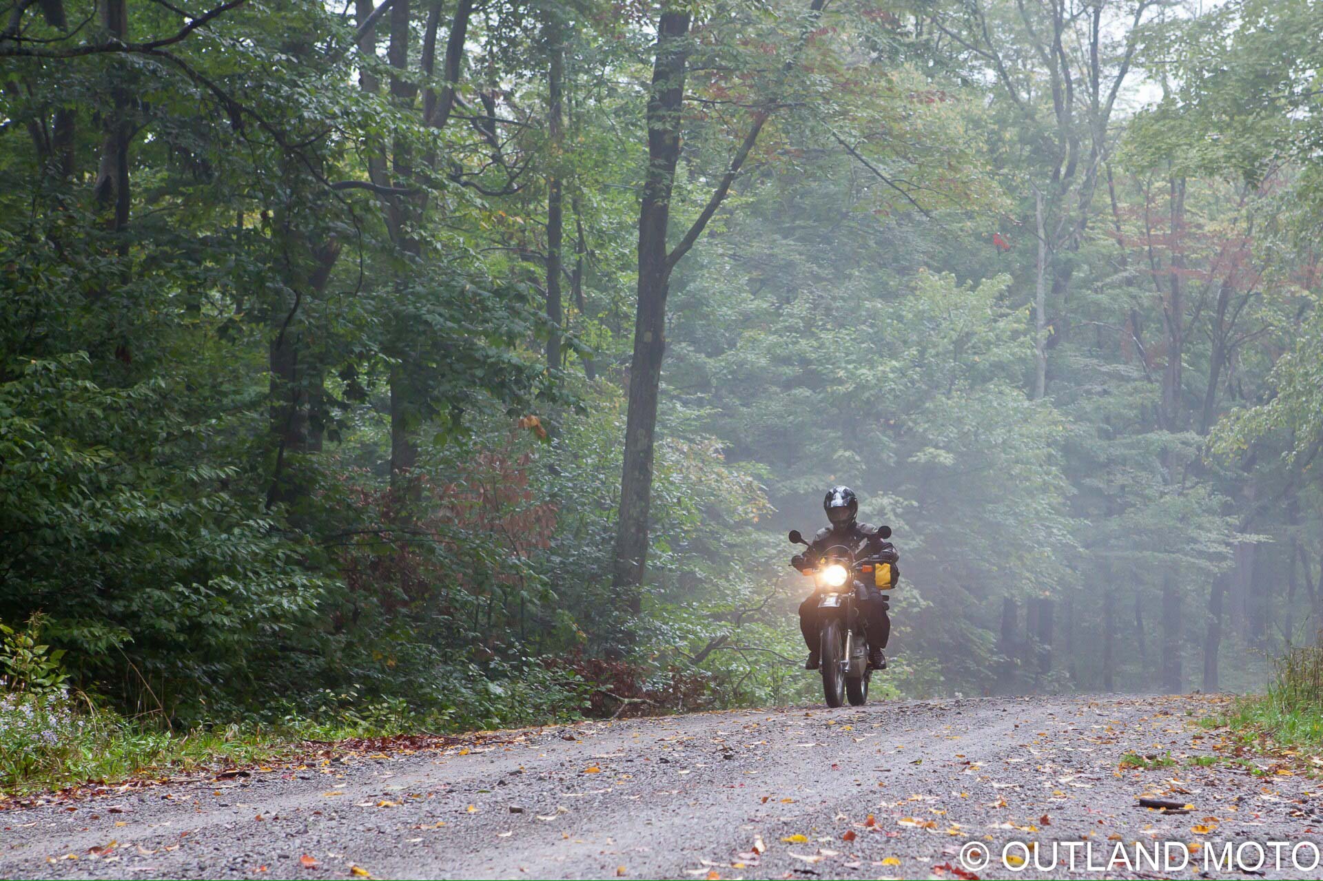
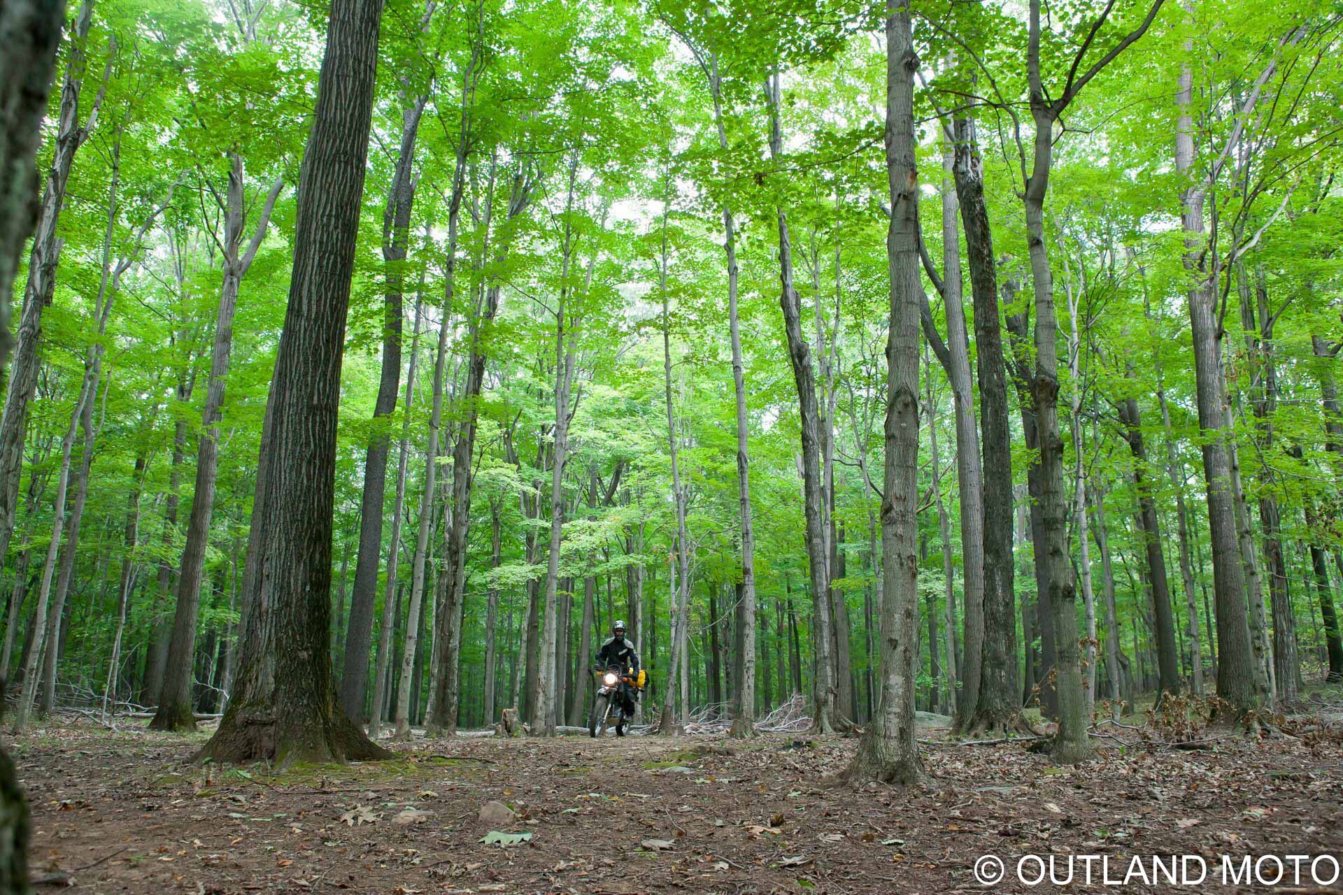
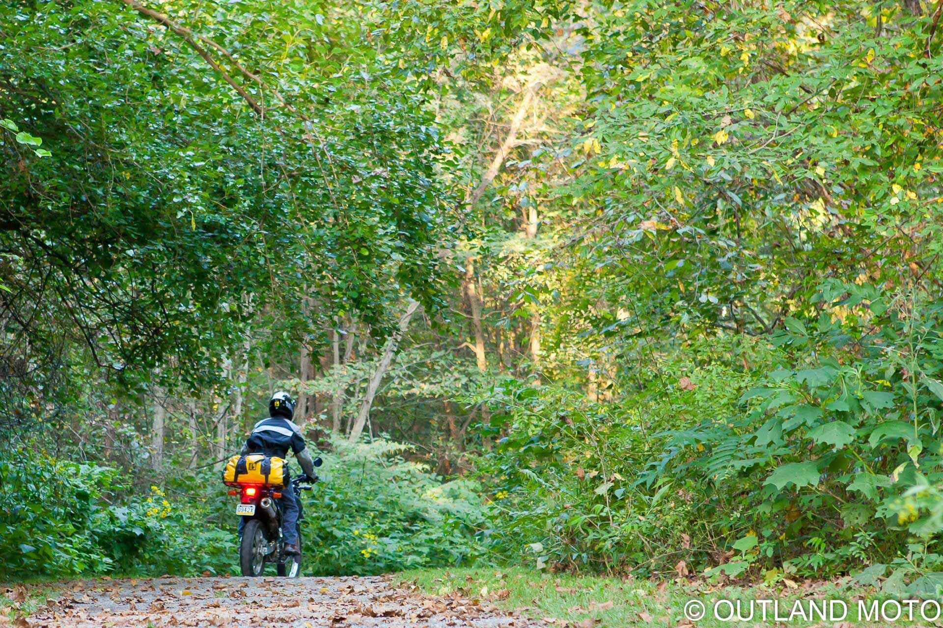
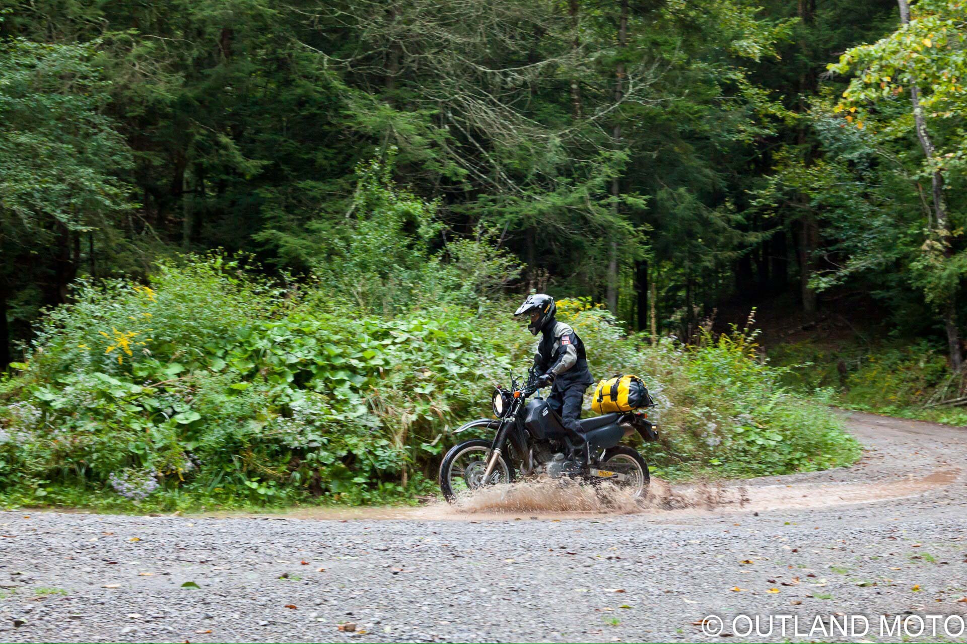
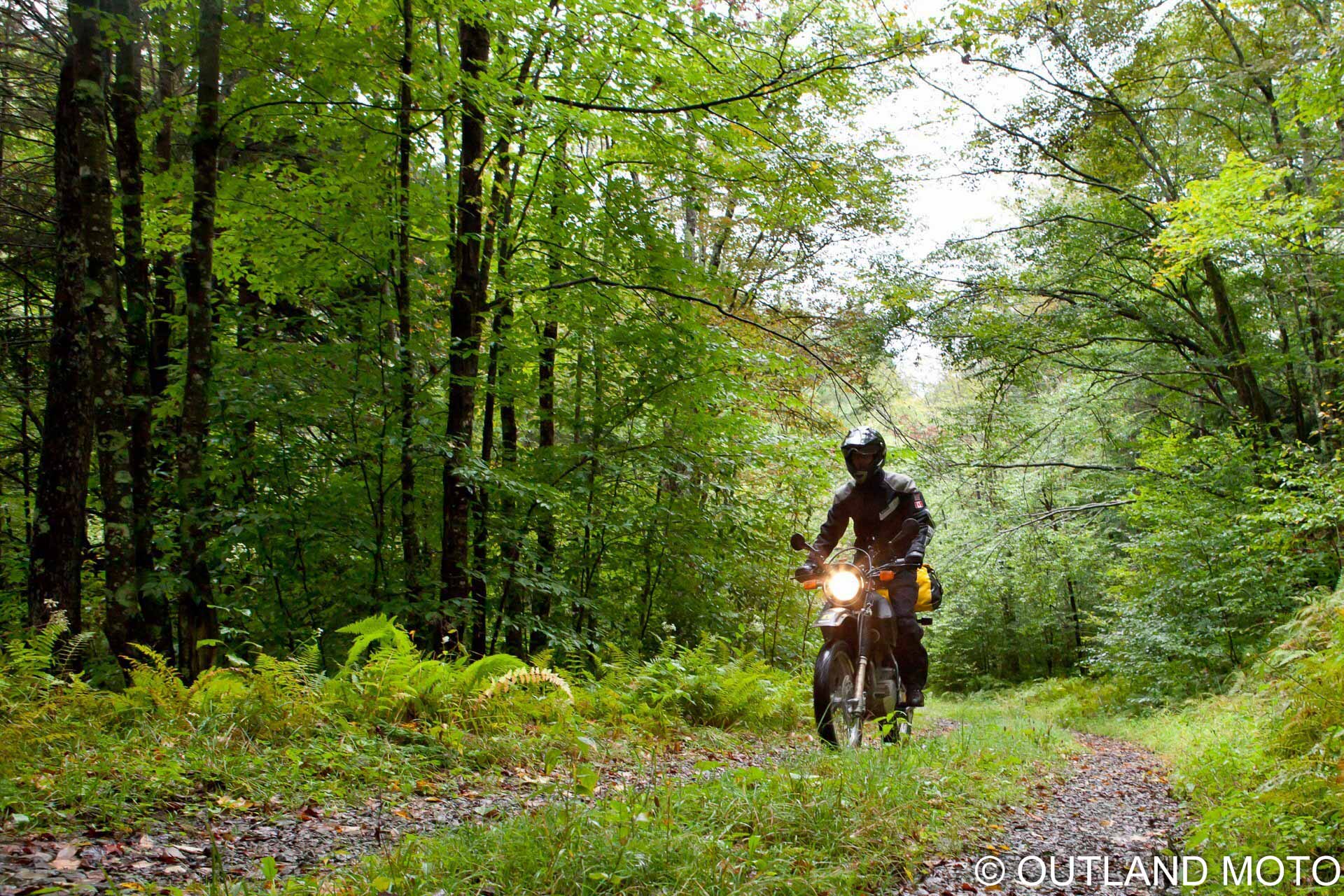
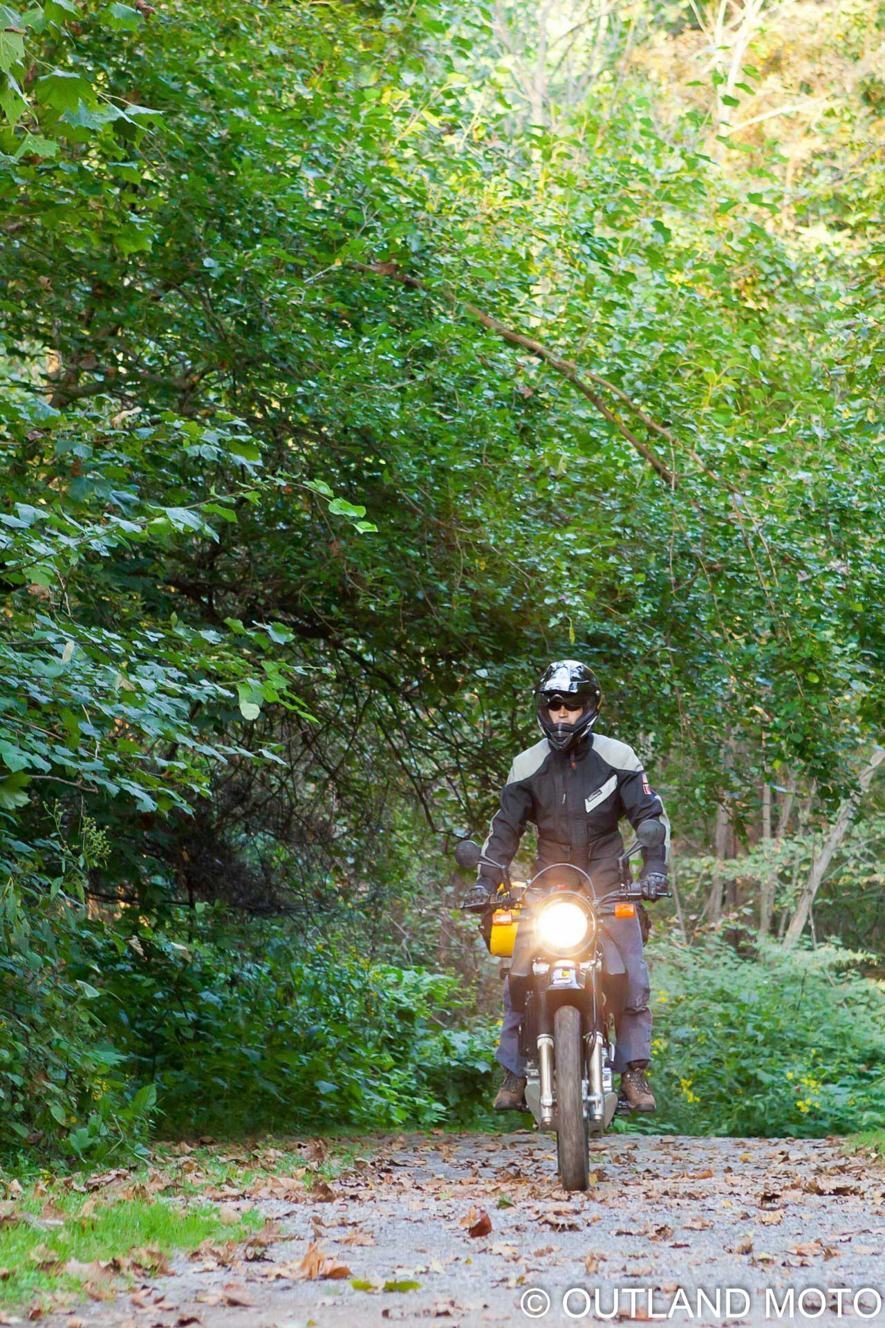
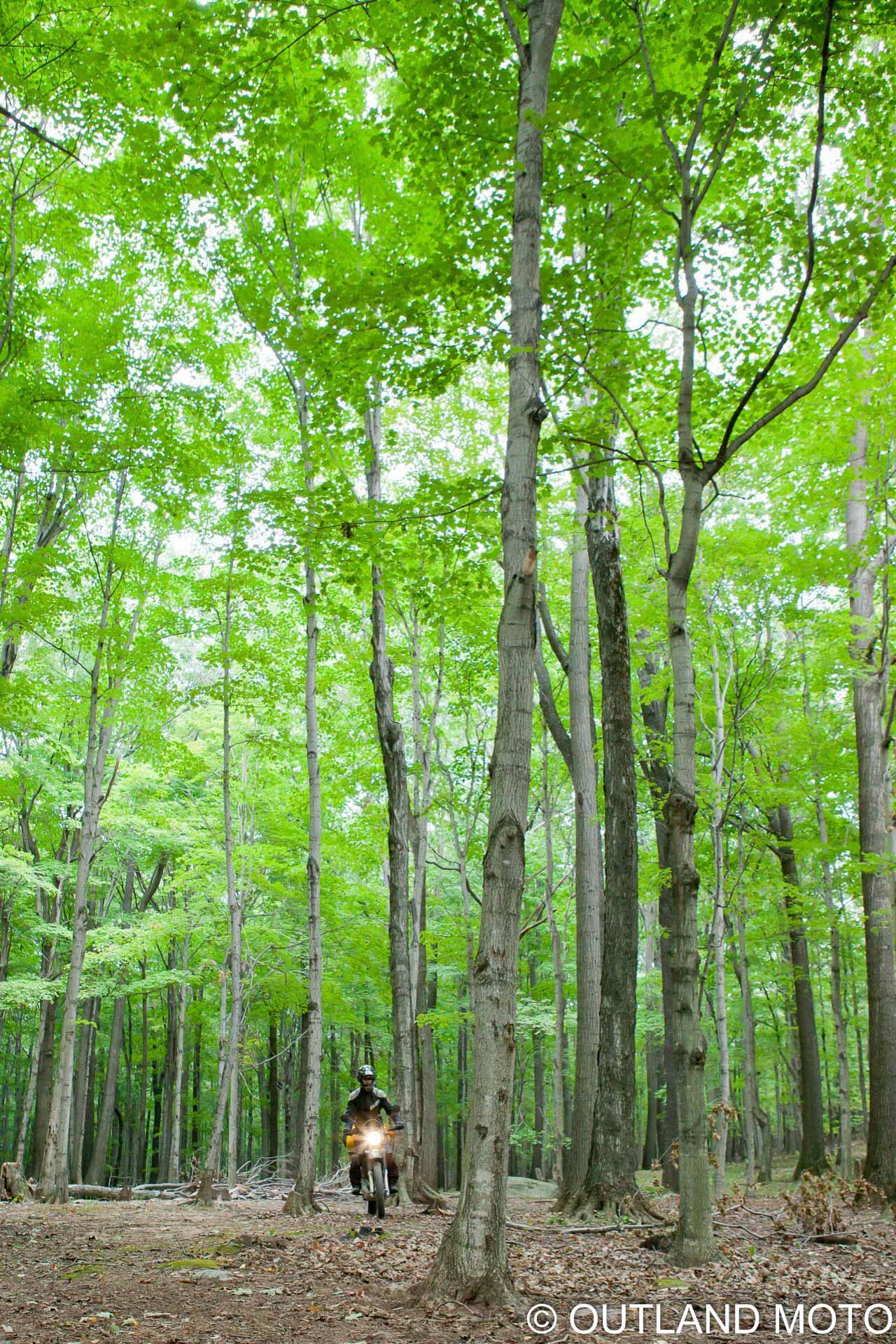
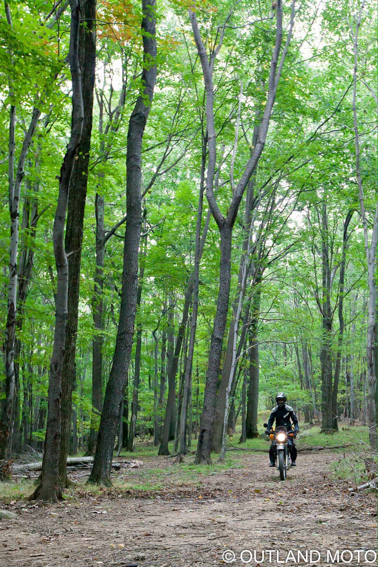
Bearing this in mind, you can begin your journey in the Laurel Fork region of the forest. With its numerous camping areas and (potential) access to facilities, this area can easily act as home base during your tour. Make all your calls and send emails before you enter, however; the forest canopy will absorb all your connections to the outside world and leave you with the minimalist feel that draws many of us to places like this. From Laurel Fork, a complex network of forest roads with varying levels of difficulty weave outward. You will find yourself dodging in and out of the trees as you travel the mountain ridges many of these paths traverse. Miles will go by as you leave the grid of the modern world behind, leaving just you inside your helmet. Though it is easy to lose your way within the forest, there is no real need to panic, as many of the roads eventually connect to one another. The bigger problem is the bridges; there aren’t very many. You’ll see rivers and streams everywhere, but if you find yourself on the wrong side of one, it may be quite a challenge getting across.
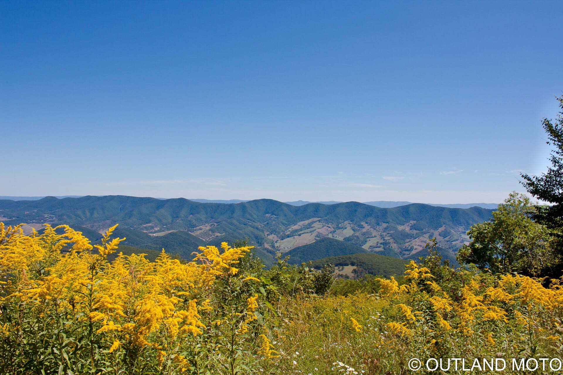
Heading northeast from the Laurel Fork region will take you to Spruce Mountain and Spruce Knob Recreation Area. Well-graded forest roads with thick canopies will yank you left and right, up the mountain road to the highest point in West Virginia, Spruce Knob (elevation 4863 feet). The lookout tower on Spruce Mountain provides a 360-degree view of the landscapes you will pass through. White rocks puncture the dense foliage of the forest, and the only sound is the wind—gentle at times, ear splitting at others.
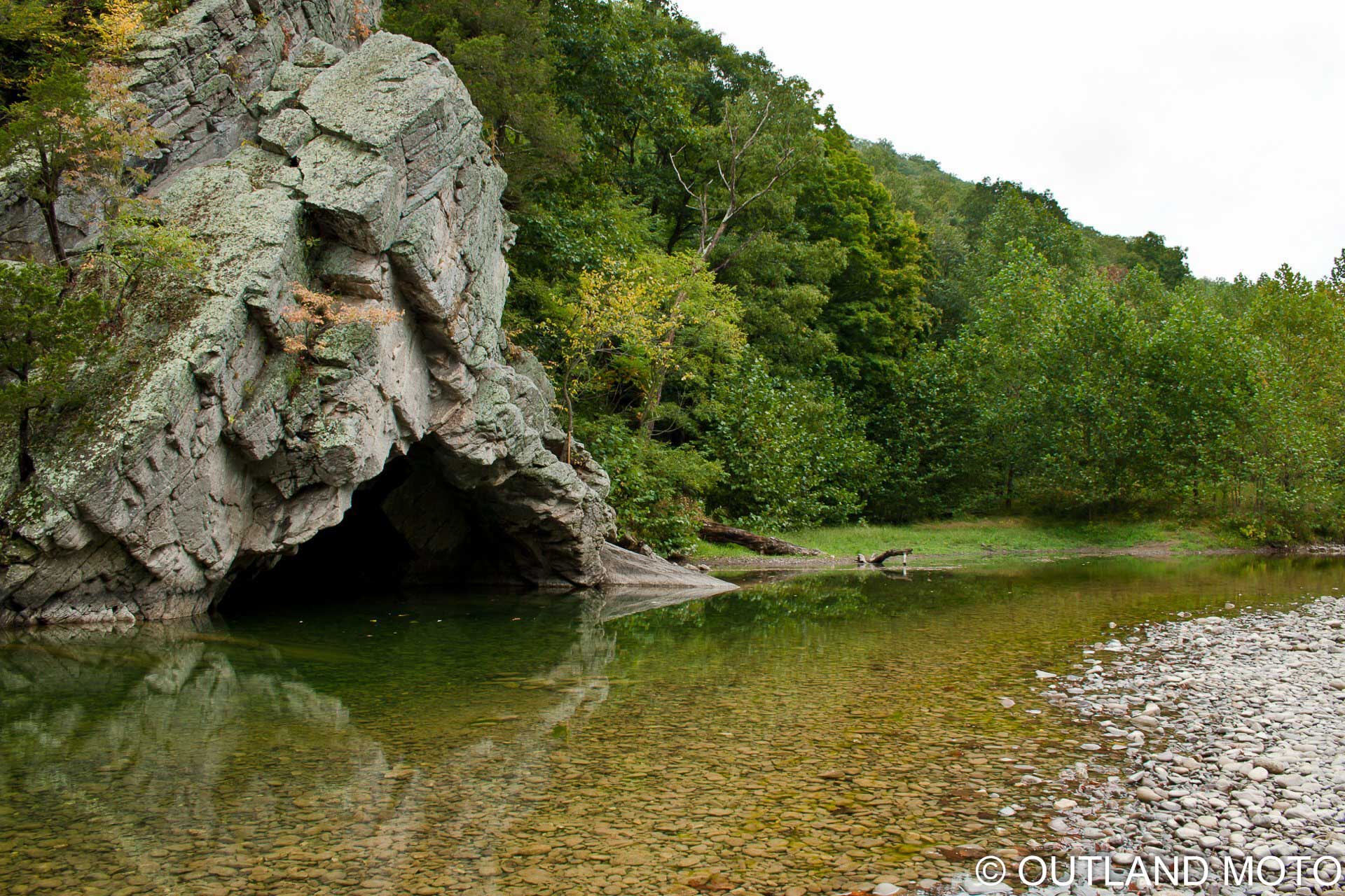
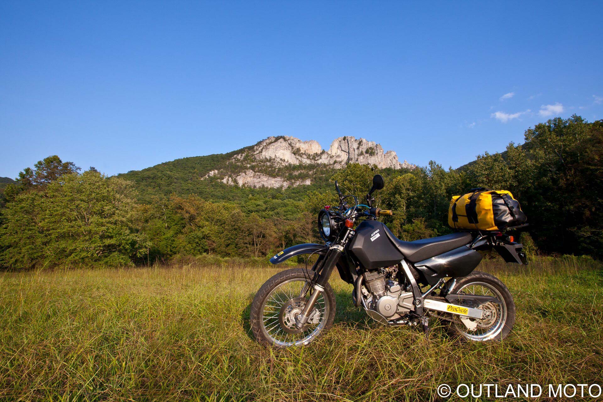
Drop down from Spruce Knob heading east, and you will run into Seneca Rocks. This spot, though off-limits to motorized vehicles, gives you a nice break from the narrow (and often wet) forest roads you’ve been riding to get here. A 1.5-mile hike to the top of Seneca Rocks will spatially demonstrate the ruggedness of this region. Rocks like this are the reason for West Virginia, and they force you to think like water might; a constant search for the path of least resistance. It is a chess game between you and the rocks, and any opening provided should be approached with caution.
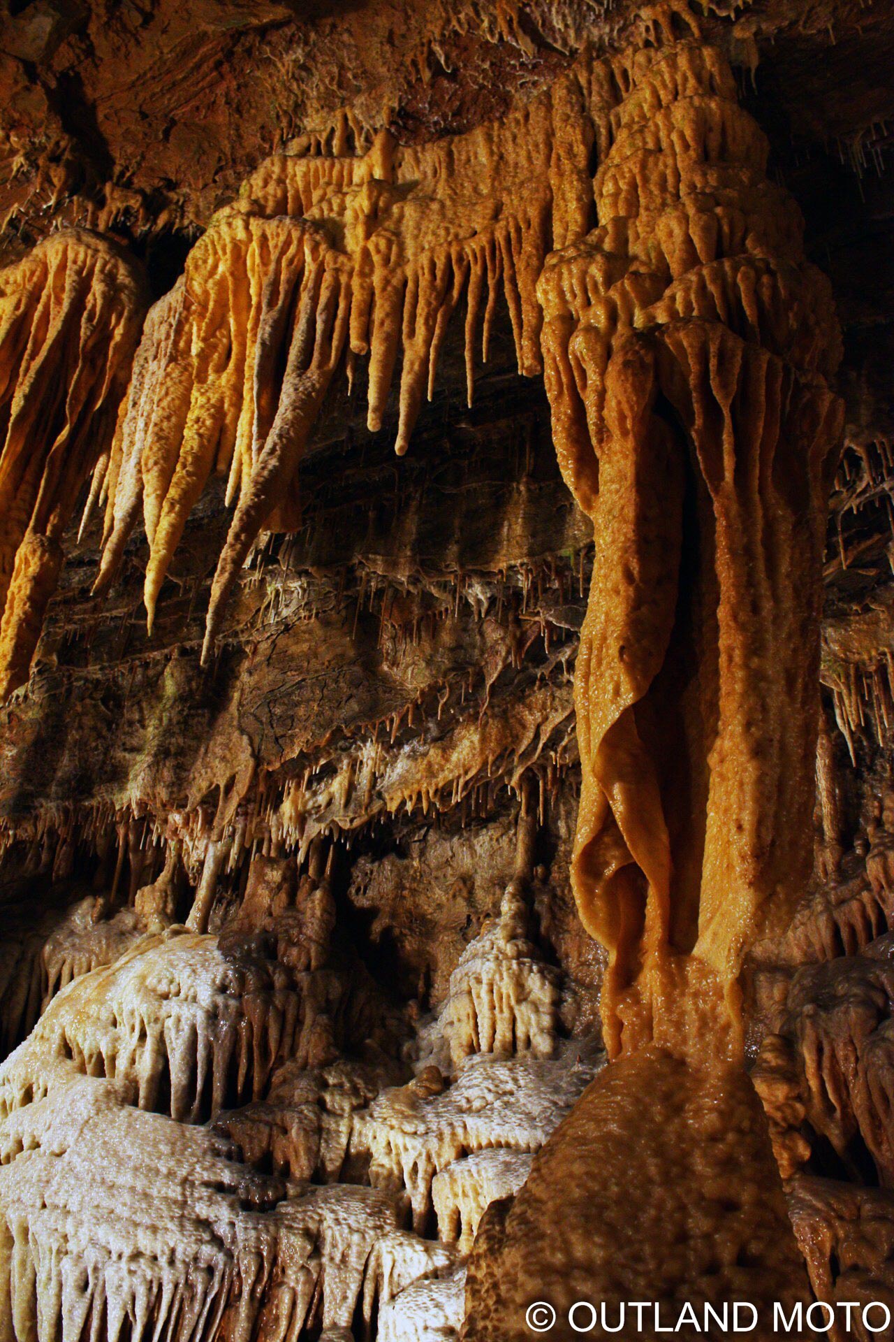
After a mild downhill hike back to your motorcycle, head northwest to Smoke Hole Caverns. The caverns, opened to the public in 1940, are said to contain the largest ribbon stalactites in the world. It is believed that moonshiners and bootleggers stored their goods here during Prohibition, both because of its cool temperature and remote location. Though the cavern has experienced some damage at the hand of man over the decades, its vibrant colors and unique textures still reflect off the modern lighting strategically placed throughout.
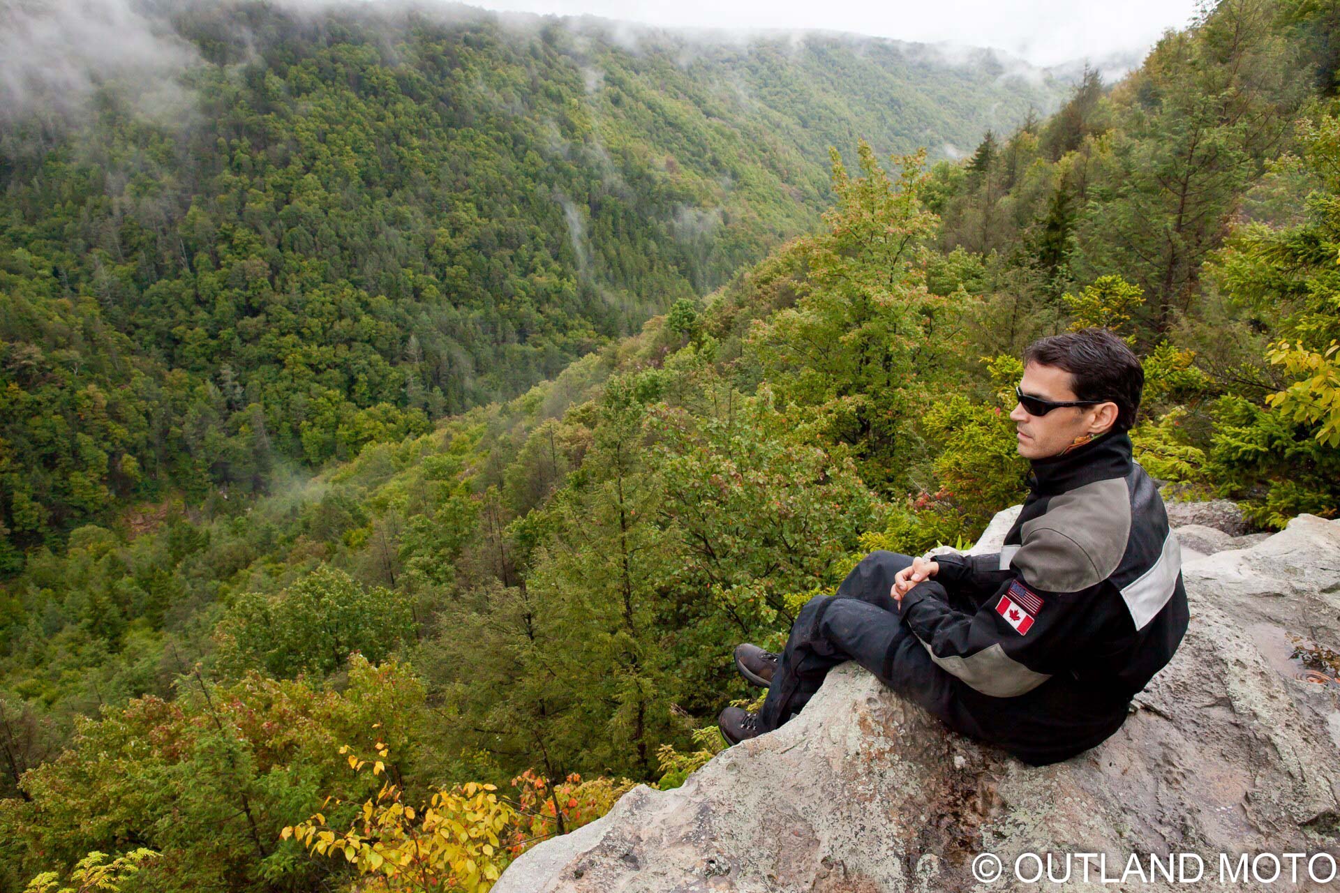
Just southwest of the caverns, you will jump onto Jordan Run Road. A steep, dusty climb above the trees takes you to a unique geographical feature known as Dolly Sods, one of the last identifiable glacial cuts in the east. Symmetrical valleys cascade into the distance, as if you were standing between two mirrors. The weather is unpredictable at this point, and clouds move quickly. Time takes on new meaning up here, and the rocks reveal the “blink” of time that we occupy. Sit for a while and you will almost hear the rock piles chuckling at your modern problems. Their gift to us is perspective; a sense that we can get past that which may sometimes seem unsurpassable, given time. And Dolly Sods will even be so courteous as to provide silence while you reflect on that.
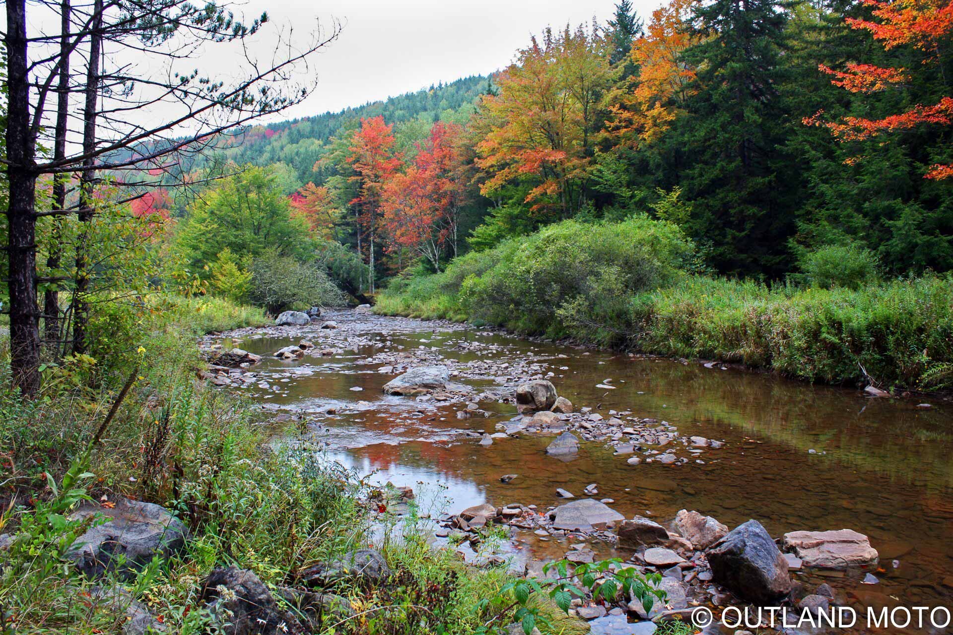
The last stop before the trek back to Laurel Fork is Blackwater Falls. Dropping five stories from the Blackwater River, the falls reside in a tightly confined valley (or ‘holler,’ to the locals). Tannic acid from the fallen hemlock and spruce needles creates an amber color to the water, and the valley ridge provides views of the landscape from countless angles. Rocks protrude out from the ridges, where you can sit, feet dangling above the valley, as mist crawls between your feet and the trees below. Although this is the final destination, you still have miles of trails between you and Laurel Fork. So let loose and tear it up!!
These mountains have dictated life here for generations. They have demanded harmony, rewarding those who welcome it, and punishing those who reject it. The forest offers solitude, and if you accept its terms, it will graciously provide you with everything an adventure should have. Whether it is historical, geographical, or recreational, the mountains are the reason.
Weapons of Choice:
2002 Suzuki DR650SE
Modifications:
Acerbis 5.3 Gallon Tank
Vapo Speedometer
Protaper Bar Risers and bars
Dual Take Mirrors
Upgraded Rear and front sprocket with 520 chain conversion
Jet Easy adjuster on Carburetor
Hi-Flow DT1 Air Filter
SUN Rims
Black Body Kit
All available at Pro Cycle
Cyclops Adventure Sports Rally Light,
at Cyclops Adventure Sports
Gear:
Aerostich Roadcrafter jacket
Aerostich Darien pant
Joe Rocket Moto Air gloves
Fulmer ADV helmet
Wolfman Expedition Dryline Duffle
Contact:
www.cyclopsadventuresports.com