Eastern US Routes

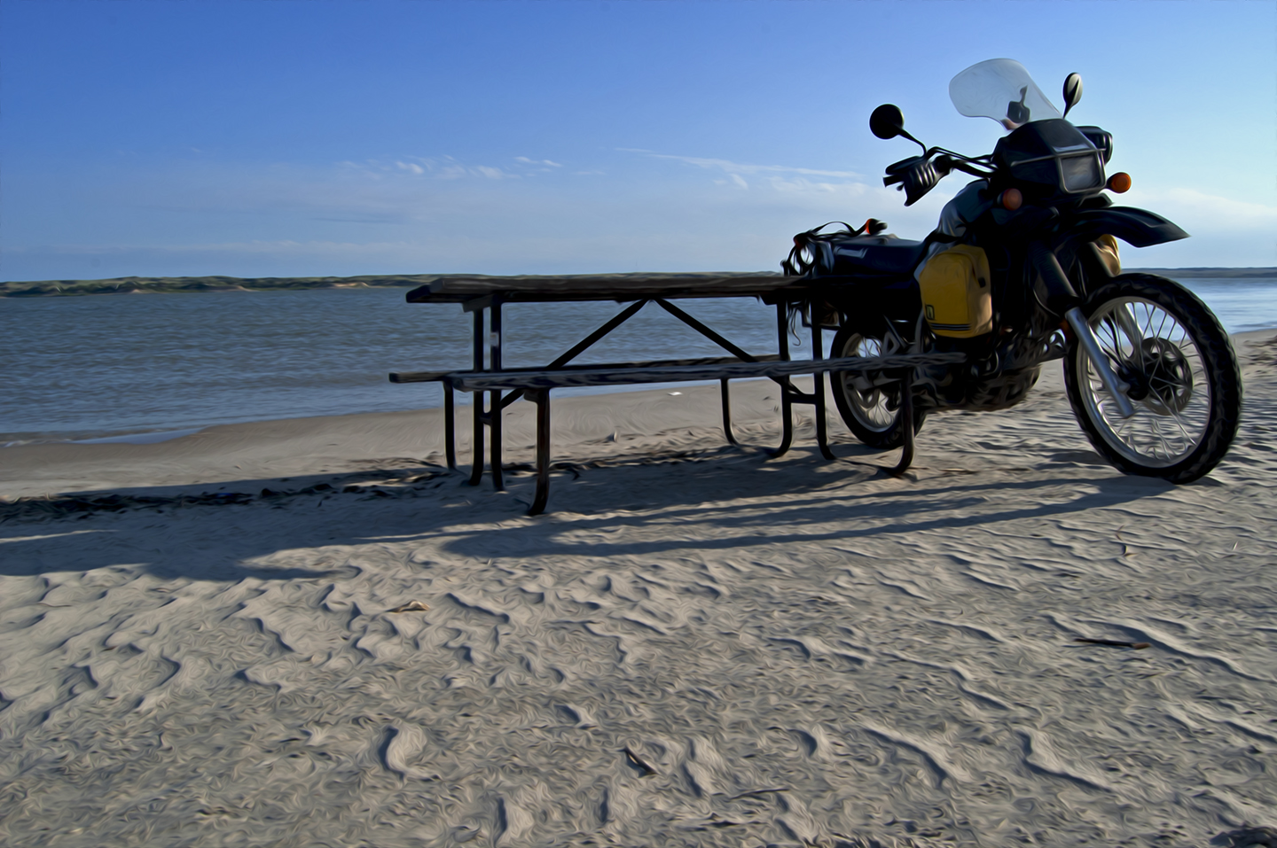
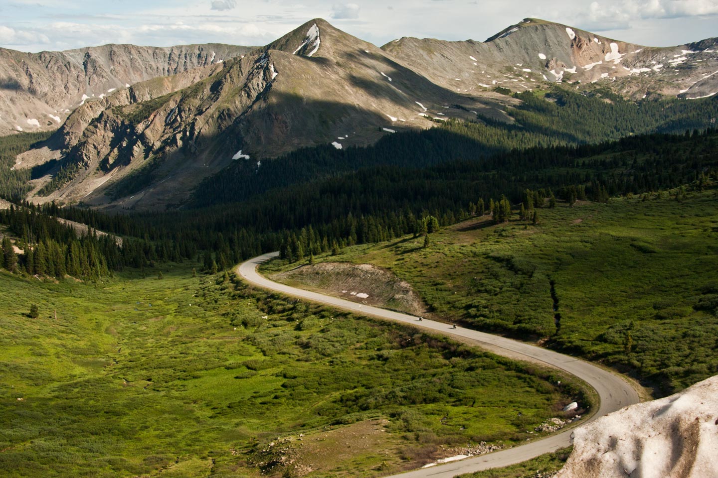
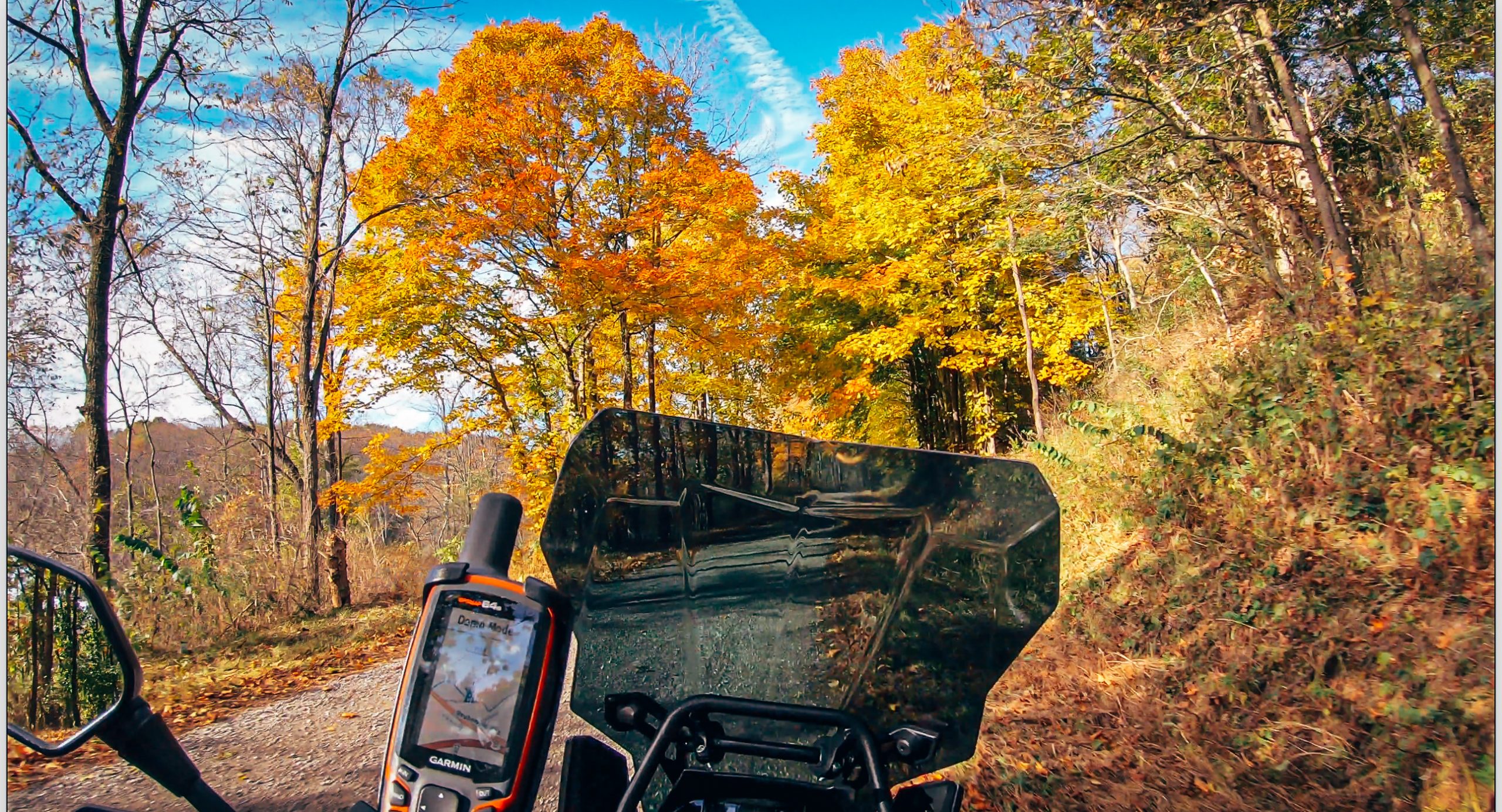
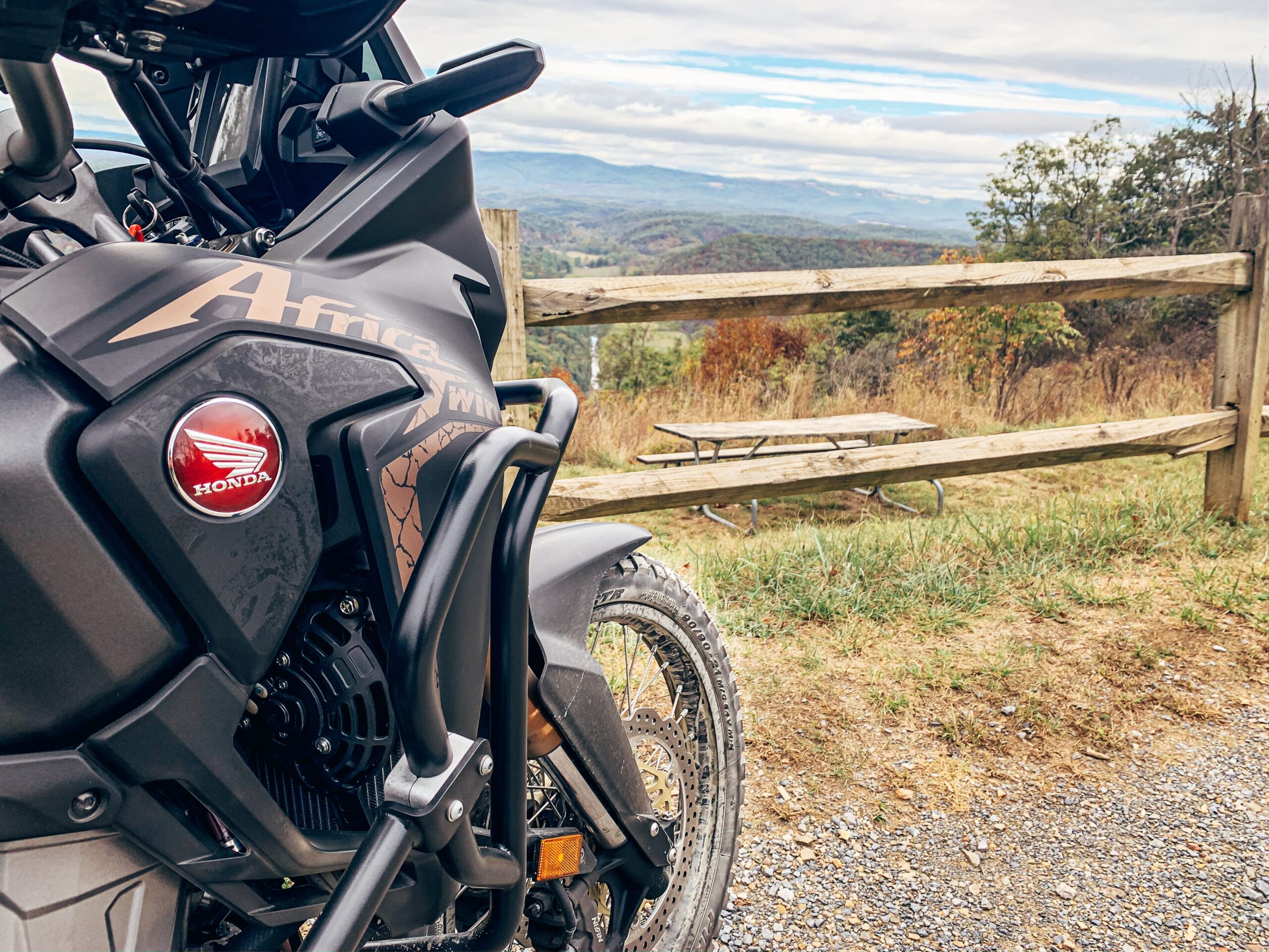
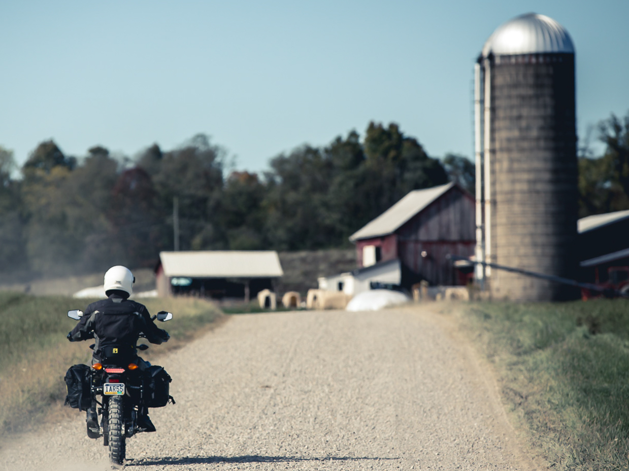
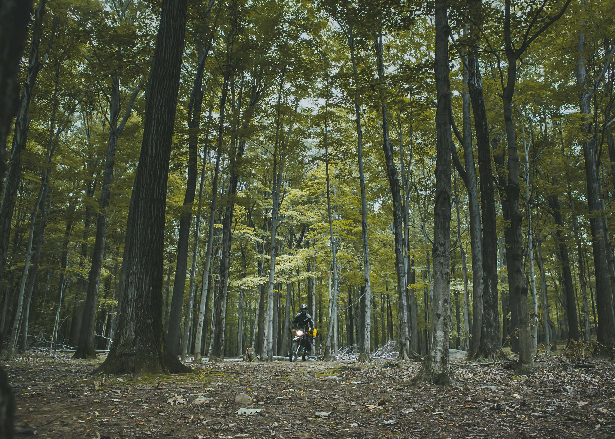
Here you can find route files and document of places I’ve explored in the Eastern United States. I will be updating this as much as I can. Feel free to download any files you would like. These files represent routes I took and (to the best of my knowledge) are public roads, requiring plated vehicles. Understand that road closures and other events could make parts of these routes unusable. Also, please respect the rules set by these areas so that we are all welcome to return as much as possible. Thank you!

YOUR DATA:  I do not sell or share your data with anyone.  I use it simply to manage my downloads and files.

NOTE: I RARELY RIDE LOOPS, SO MOST OF THESE ROUTES GO EAST TO WEST OR VICE VERSA. IF YOU ARE LOOKING FOR LOOPS, THESE ROUTES CAN GIVE YOU A START TO MAKE YOUR OWN.


Maryland

Maryland - Green Ridge State Forest Loop

LOOP - DIRT & GRAVEL – gpx file with Garmin (.gdb) route and campsites)
FREE DOWNLOAD

Send download link to:


Ohio

Ohio - East Liverpool to Salt Fork State Park

POINT TO POINT - DIRT & GRAVEL – gpx file with Garmin (.gdb) route and campsites)
FREE DOWNLOAD

NOTE: I do not sell or share your data. I only use it to manage my downloads. Send download link to:

Skull Fork Bridge and Route 800 North to Dellroy, OH

POINT TO POINT - PAVED ROADS – gpx file with Garmin (.gdb) route and waypoint for covered bridge. This route starts near Salt Fork State Park at Skull Fork Covered Bridge, then travels north along SR800, to Dellroy, OH.
FREE DOWNLOAD

Send download link to:


Pennsylvania

Western PA Covered Bridges

POINT TO POINT - PAVED ROADS - This is nice, 134-mile tour of some drivable covered bridges in Western Pennsylvania.  It is made up of secondary paved roads and would make for a nice afternoon ride, if you find yourself in that part of the country.
FREE DOWNLOAD

Send download link to:

Laurel Highlands Loop #1

LOOP - DIRT & GRAVEL - This is a short 40 mile loop through the Laurel Highlands of Pennsylvania, passing through some mining areas and Seven Springs Ski Resort.
FREE DOWNLOAD

Send download link to:


West Virginia

Monongahela National Forest - Collection #1

LOOP(s) - DIRT & GRAVEL – gpx file with Garmin (.gdb) routes, campsites, and fuel.
FREE DOWNLOAD

Send download link to:

Ohiopyle State Park PA to Seneca Rocks, WV

POINT TO POINT - PAVED ROADS – gpx file with Garmin (.gdb) route and waypoint to Seneca Shadows Campground. This route travels south through county and township roads. It starts in Ohiopyle State Park in Pennsylvania
FREE DOWNLOAD

Send download link to:

US250 Loop - PA-OH-WV

LOOP - PAVED ROADS - This loop utilizes US Route 250, combined with other routes to make for a great day of twists and turns.  Expect sharp curves and wonderful views on this ride.  183 miles.
FREE DOWNLOAD

Send download link to: